services / exploration services
GIS & Remote Sensing
Cost effective approaches for mineral exploration targeting through utilization of GIS system, remotely sensed data & integrated interpretations

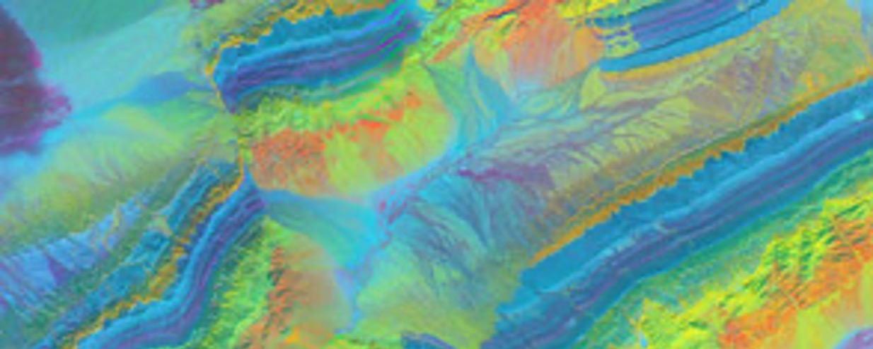
Remotely sensed images, and their derivatives, such as Digital Elevation Models (DEMs), are very suitable tools to recognize and map indirect indicators, such as structure, stratigraphy, alteration, lithological changes geomorphology, and vegetation patterns that might be associated with mineral deposits.
Our experts, analyze and interpret remotely sensed data by applying relevant structural and geological understanding to identify geological processes, detect structures, and assess the likeliness of mineral deposit occurrences. In that process, the crucial is evaluating the timing of mineralization within metallogenic province area and tectonic history framework. The resulted integrated interpretations are then utilized for mineral exploration targeting, planning & design further exploration works. Multiple data sets are incorporate through GIS system (software) to conduct target generation and refinement, identify mineralization control, and delineate prospective structures and strata.
Sub-Services :
- Interpretation of satellite imagery data to produce structural and geological maps to be used for exploration targeting
- Exploration target or prospect ranking of particular deposit style (commodities)
- Preparation of interactive GIS maps and models to exploration targeting
- Plotting mining tenement (IUP) on GIS maps to conduct preliminary assessment regarding exploration potential and mining aspects analysis